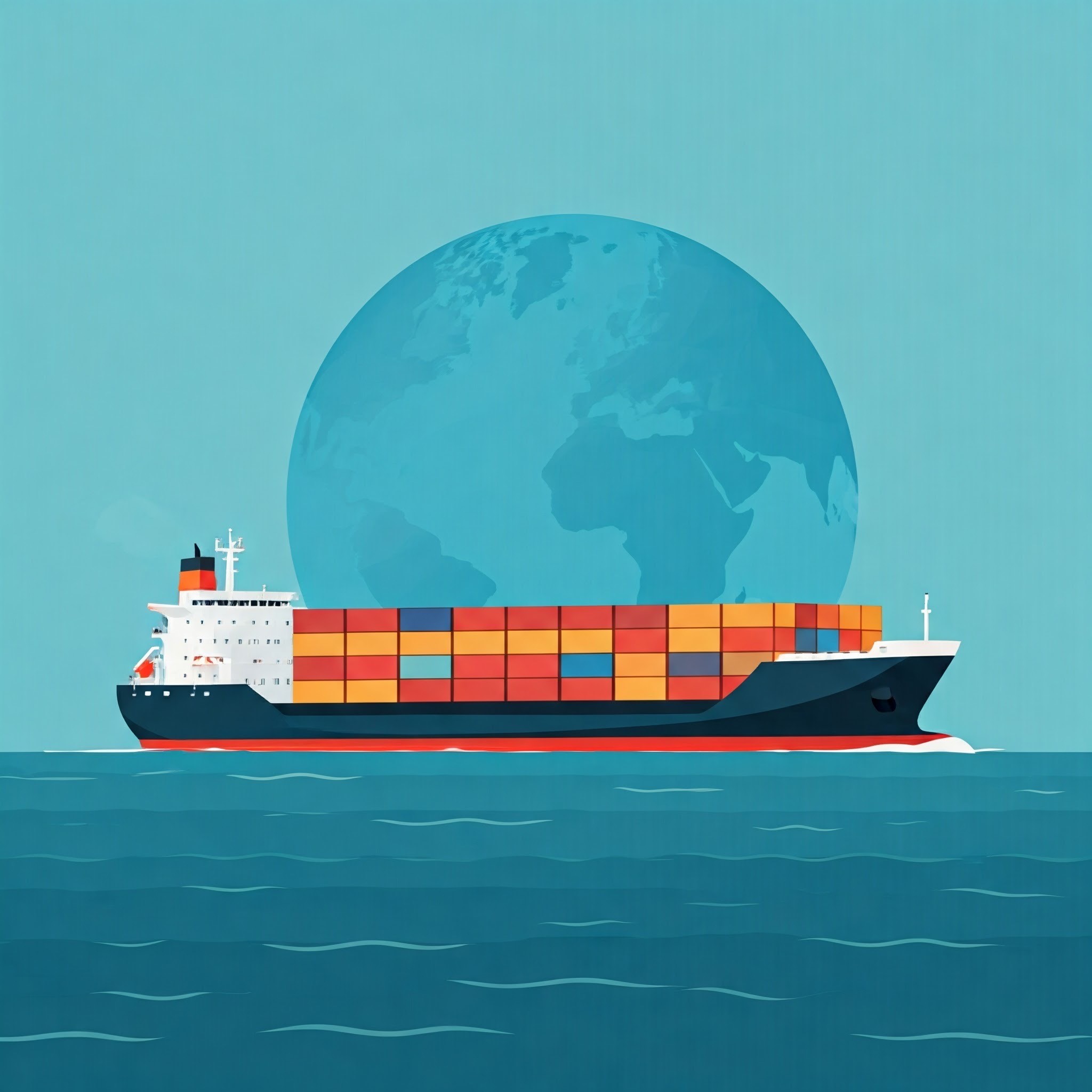
This introductory course aims to raise awareness of AIS data and demonstrate its application in Official Statistics. It will provide information on how to obtain AIS data, as well as discuss the opportunities and challenges of incorporating it into various statistical domains, including transportation, trade, and the environment.
- Level: Beginner
- Duration: 2 Hours
- Format: Lecture followed by a quiz
- Enrollment: Self-enrollment
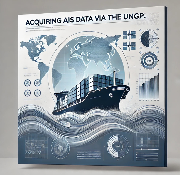
This course is designed to develop skills for extracting Automatic Identification System (AIS) data within the UN Global Platform and conducting basic data analysis. It includes an introduction to AIS data, procedures for requesting access to the UN Global Platform, methods for acquiring AIS data, an overview of its data structures, and examples of how to read and filter AIS data using PySpark.
- Level: Intermediate
- Duration: 1 Day
- Format: Lecture, hands-on coding, quizzes
- Enrollment: Self-enrollment with enrollment code
- Prerequisite: Require access to UNGP AIS (available only to the official statistics community)
This advanced course describes in detail the use of AIS (Automatic Identification System) data to calculate economic indicators, such as port calls. Students will be exposed to the methodological aspects of calculating port calls using AIS data, including considerations related to data quality. Additionally, they will learn about various coding libraries designed to handle geospatial datasets, such as AIS data. It is a self-paced e-learning course featuring modules developed by the Central Statistics Office of Ireland.
- Level: Advanced
- Duration: 3 Days
- Format: Lecture, hands-on coding, quizzes
- Enrollment: Self-enrollment with enrollment code
- Prerequisite: Require access to UNGP AIS (available only to the official statistics community)
This self-paced e-learning course, developed by the Norwegian School of Economics, teaches participants how to use AIS data to estimate greenhouse gas emissions from shipping. The course is divided into two parts:
Part 1 introduces the International Maritime Organization's (IMO) Fourth Greenhouse Gas Study and highlights its key contributions to the proposed algorithm.
Part 2 presents the steps and algorithms involved in the emissions estimation method.
- Level: Advanced
- Duration: 3 Days
- Format: Lecture, hands-on coding, quizzes
- Enrollment: Self-enrollment with enrollment code
- Prerequisite: Require access to UNGP AIS (available only to the official statistics community)